 News
NewsStudy identifies more than 6400 hectares of bamboo in Peru’s Northeastern corridor
Satellite technology and fieldwork reveal the strong potential of bamboo to drive sustainable development and climate resilience in northern Peru.
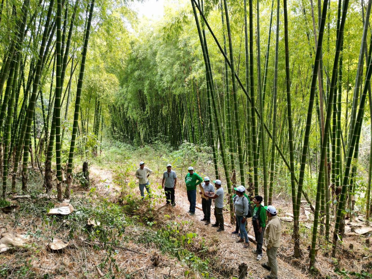
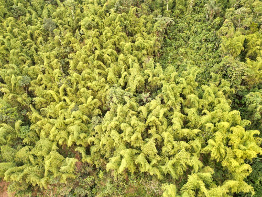
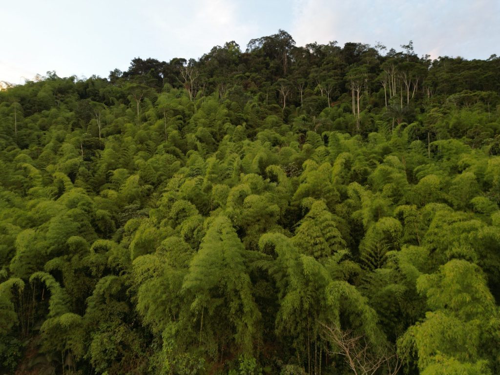
An innovative technical study based on satellite imagery and automated processing through Google Earth Engine has identified 6,434 hectares with the presence of Guadua aff. angustifolia, locally known as Guayaquil cane, in Peru’s northeastern corridor, which includes Piura, Cajamarca, and Amazonas. This finding highlights the significant potential of this forest resource for sustainable development, rural employment generation, and climate change adaptation.
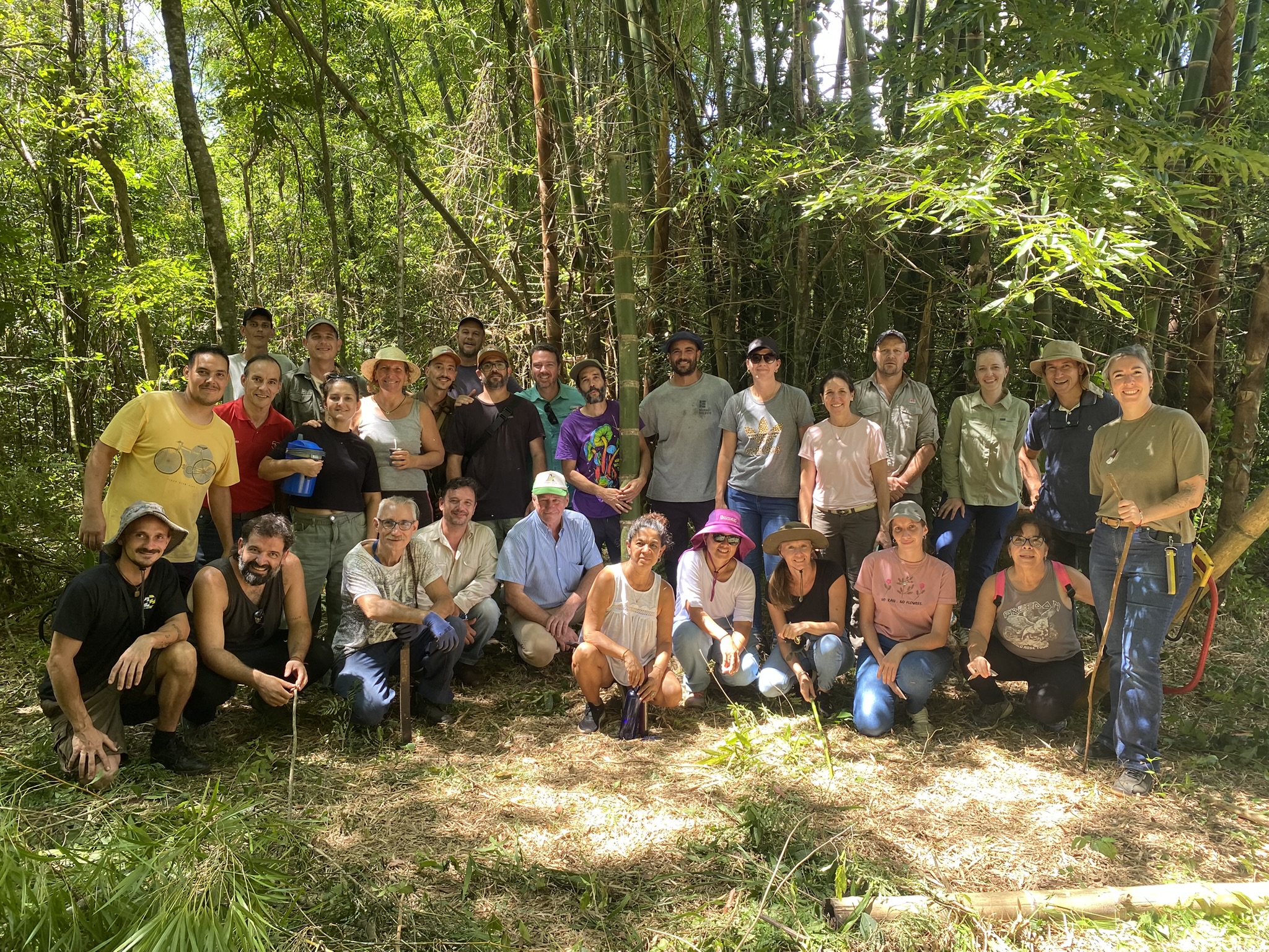
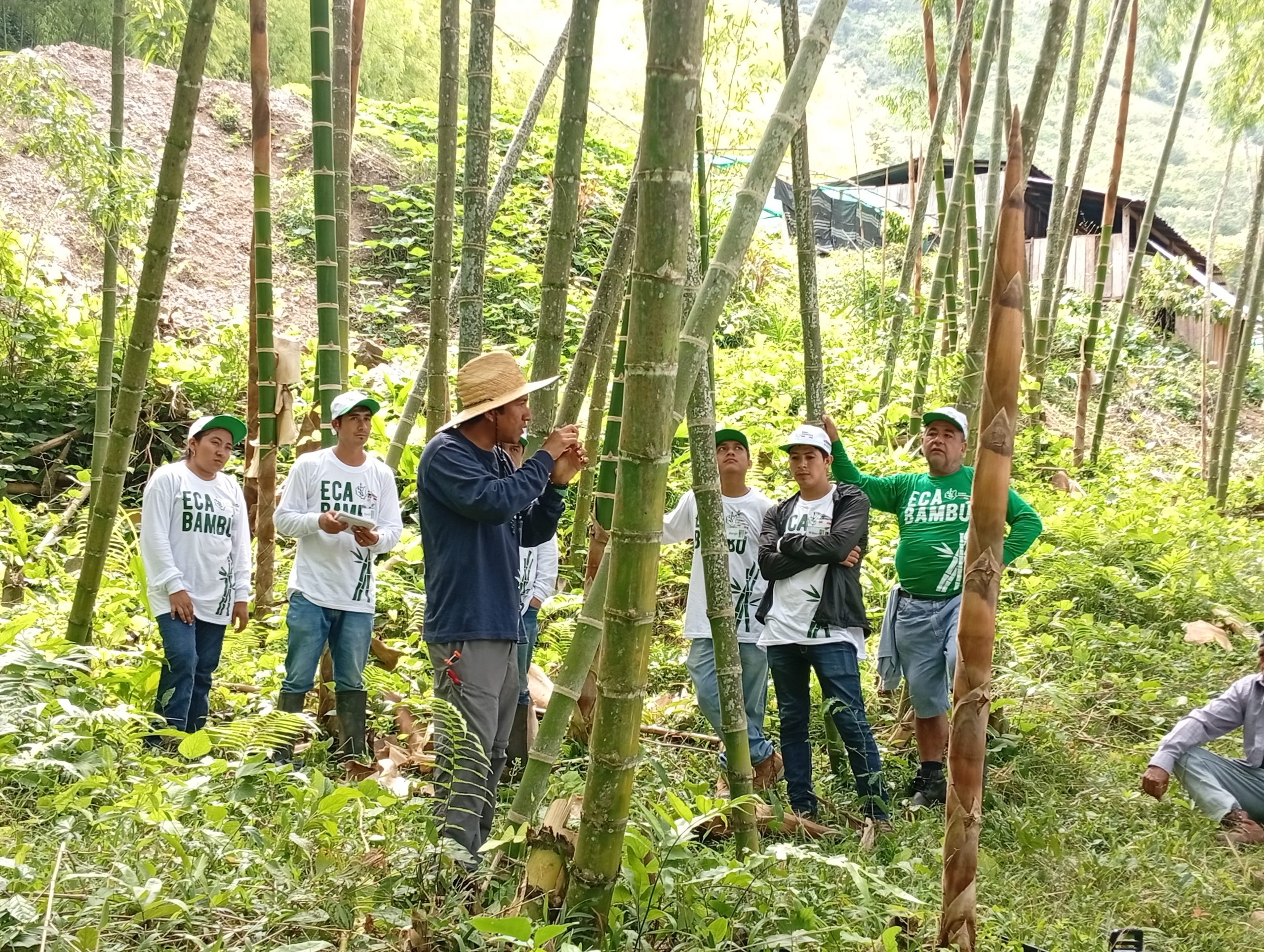
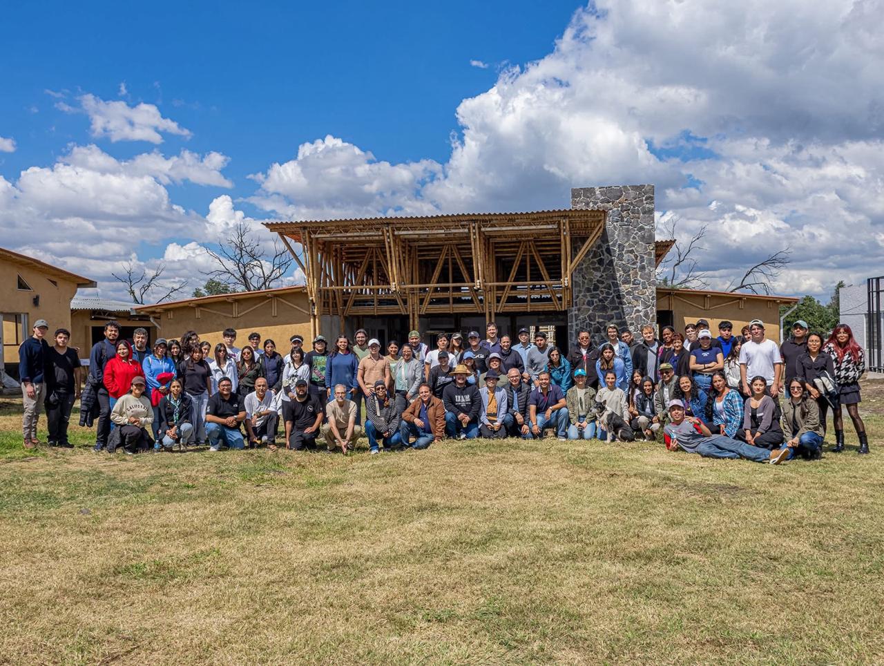
The research was conducted within the framework of the Bamboo in Northeast Peru Project, implemented by INBAR, with support from the Peru-Ecuador Binational Border Region Development Plan, and the National Forest and Wildlife Service (Serfor), the specialized state agency responsible for guiding the sustainable management of forest resources.
Technological innovation in support of forest development
The study addresses the limited availability of consistent and up-to-date information on bamboo plantations in the country, a gap that has hindered land-use planning and informed decision-making across the production chain.
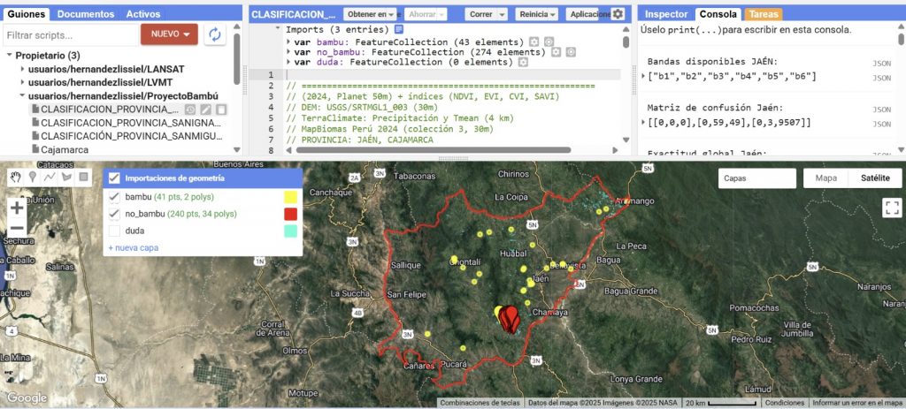
To overcome this challenge, researchers used Sentinel-2 and Landsat-8 imagery from 2024, SRTM topographic data, canopy height models, and several vegetation indices (NDVI, EVI, NDMI, and SAVI). These datasets were integrated through supervised classification using the Random Forest algorithm implemented in Google Earth Engine, enabling bamboo to be distinguished from other vegetation cover types based on its spectral signature. This approach produced a robust database for spatial analysis and automated, detailed cartography updated to 2024.
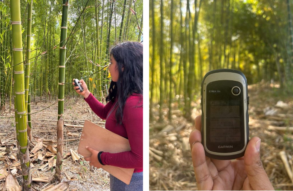
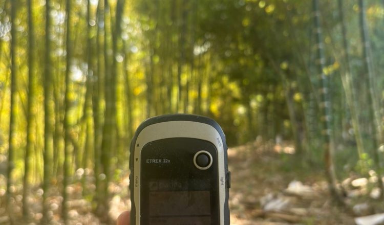
Raphael Paucar Cárdenas, INBAR’s National Project Manager for Peru, explained that the process combined fieldwork to validate previously unrecorded areas with desktop analysis using cloud-based computing tools. This enabled the creation of a reliable technical baseline on the spatial distribution of bamboo in the northeastern corridor. The work was led by specialists from the Universidad Nacional Agraria La Molina (UNALM).
Results exceed official records
According to the National Forest and Wildlife Information System (SNIFFS), 1020 bamboo plantations are currently registered nationwide, covering approximately 2187 hectares. However, the study’s findings reveal significantly greater coverage in the northeastern region alone. There, bamboo directly supports more than 5000 families engaged in productive, artisanal, and construction-related activities.
In Piura, 1561 hectares were identified, primarily in Morropón, Huancabamba, and Ayabaca, where bamboo plays a strategic role in agroforestry systems, watershed protection, and climate resilience.
Unlike other regions, Guayaquil cane in Piura grows under conditions of water stress and high temperatures, making it a key resource in addressing droughts and extreme climate events in a highly vulnerable region, noted Roberto Fernández Zavaleta, Technical Administrator of Serfor in Piura. He also explained that the identified ecological patterns will serve as technical input for site quality studies aimed at recognizing areas with high potential for the orderly expansion of bamboo cultivation. This will strengthen land-use planning, sustainable resource management, and integration into formal value chains.
“Bamboo is not only a forest resource but also an opportunity to diversify the rural economy, generate sustainable income, and reduce pressure on natural forests. Proper management enables us to address the impacts of climate change and strengthen regional water security,” the official added.
Toward an industrial approach
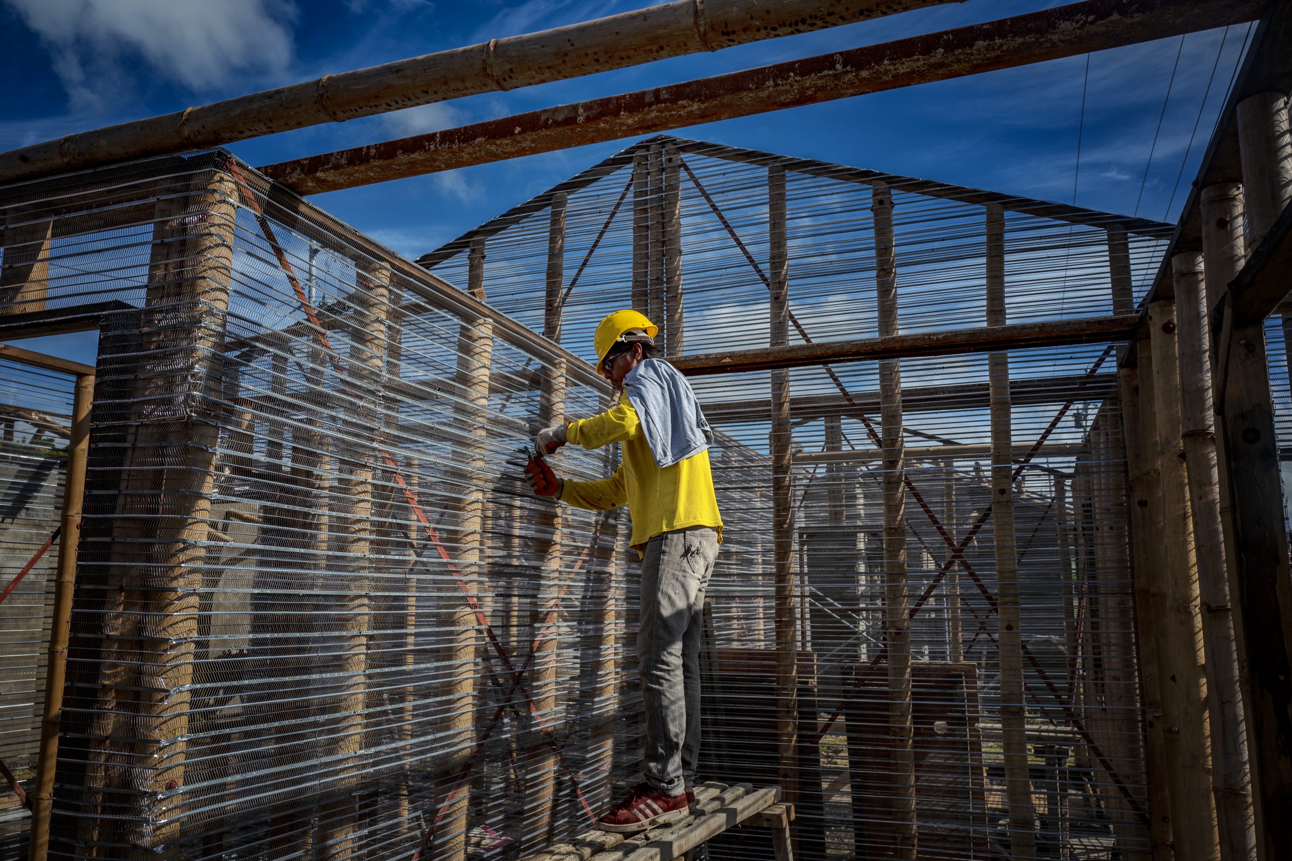
The study emphasizes that reliable data are essential for the formulation of evidence-based public policies. The results of this zoning effort will enable authorities and private stakeholders to better target their conservation and restoration initiatives and, above all, promote economic development in northern Peru through an industrial approach.
Moreover, the methodology applied can be replicated in other regions of the country as part of the development of a National Bamboo Inventory, contributing to ecosystem conservation and the advancement of a sustainable forest bioeconomy.